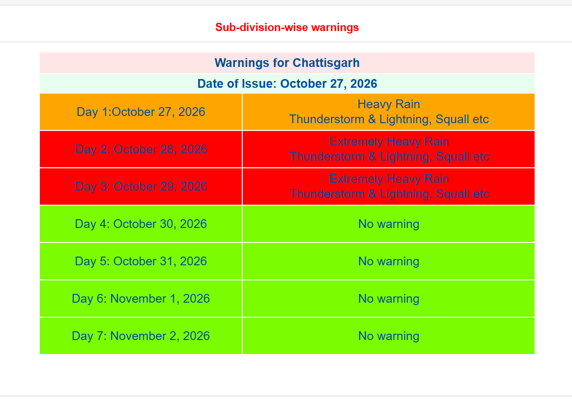
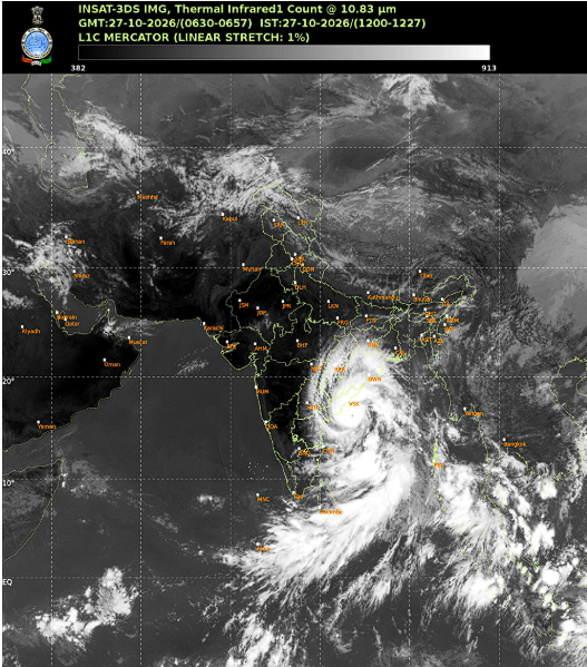
Andhra Pradesh and Odisha have intensified emergency preparations as Cyclone Arnab approaches India’s east coast. The IMD has warned of heavy rainfall and wind gusts of up to 140 kmph ahead of the storm’s expected landfall on Wednesday morning.
KHABAR365 NEWS NETWORK
New Delhi, October 27: Coastal authorities have stepped up emergency measures as Cyclone Arnab moves towards the eastern coast of India. According to the India Meteorological Department (IMD), the very severe cyclonic storm is expected to cross the Andhra Pradesh coast near Yanam on the morning of October 28. The system is likely to make landfall between Bapatla and Visakhapatnam with wind speeds of up to 125 kmph and gusts reaching 140 kmph.
Thousands of residents have been evacuated from vulnerable locations as disaster management agencies prepare for possible flooding, power disruptions and damage from strong winds. Some train services have also been affected as a precautionary measure.
The IMD has warned of heavy to very heavy rainfall across parts of coastal Andhra Pradesh as the cyclone approaches. Authorities have urged residents to remain indoors, avoid unnecessary travel and follow official advisories. Fishermen have been advised not to venture into the sea until weather conditions improve.
Besides Andhra Pradesh, neighbouring Odisha has also activated preparedness measures as forecasters monitor the cyclone’s movement. Coastal districts in both states are under close surveillance, with emergency response teams positioned for relief and rescue operations if required.
Government agencies are maintaining round-the-clock monitoring while shelters, medical teams and disaster-response personnel remain on standby. Officials say the next several hours will be crucial as the cyclone approaches the coast.
High Alert States
• Andhra Pradesh
• Odisha
Why Do Cyclones Form? | Explained
Cyclones develop over warm ocean waters when moist air rises rapidly from the sea surface. As the air rises, a low-pressure area forms below it. Surrounding air rushes in to fill this space and begins rotating due to the Earth’s rotation. If sea temperatures remain warm and atmospheric conditions remain favourable, the system can intensify into a severe cyclonic storm.
The Bay of Bengal is one of the most cyclone-prone regions in the world because of its warm waters and favourable weather patterns, particularly during the pre-monsoon and post-monsoon seasons.
365 Takeaway
Cyclone Arnab is expected to strike the Andhra Pradesh coast on Wednesday morning, with authorities racing to complete evacuations and emergency preparations. The storm’s impact will depend on its final track and intensity at the time of landfall.